Explore Our World: Geography Education, Games & Travel Guides
Country guides, geo games and quizzes, classroom resources and printable travel planners, all in one place.
A World Geography and Travel Guide Built for Curious Minds
AtlasWise is an independent world geography and travel guide. It brings together country profiles, comparison tools, geography games and printable resources so that students, teachers, families and travellers can understand the world in one place, without jumping between a dozen tabs.
Every one of our 196 country guides covers the basics you would look up first: capital, population, languages, currency, climate and the best time to visit. Each one also lists notable universities and places to stay, so the same page works for a school project, a study-abroad shortlist or a holiday plan. When you want to go further, our country comparison tool puts two nations side by side, and our world rankings show the largest, smallest, richest and most populated countries, alongside the tallest mountains and longest rivers.
Geography is easier to remember when it is fun, so we built geo games and quizzes on flags, capitals and landmarks. For classrooms and homeschool families, our printable packs include lesson plans, worksheets and assessments that follow the same facts you find on the site.
For travellers, our in-depth guides to the world's most popular islands, volcanoes, national parks and UNESCO World Heritage Sites explain when to go, what permits you need and what each place is really like. Our practical tools, from the distance calculator to the currency converter, help you plan the trip itself.
We check facts against official sources such as national statistics offices, UNESCO and park authorities, and we update pages when figures change. Spotted something out of date? Write to us at support@atlaswise.org.
Learn, Play & Teach Geography
Geo games and quizzes for curious minds, plus ready-to-teach geography resources for classrooms and homeschool families.
Geo Games
Interactive geography games that turn countries, capitals, flags and maps into a challenge.
Play Geo Games → Test yourselfGeography Quizzes
Quick quiz rounds on countries, capitals and landmarks. How well do you really know the world?
Take a Quiz → Teachers & parentsClassroom & Homeschool
Lesson plans, worksheets, assessments and country passports, ready to print and teach.
Browse Teaching Resources →Explore AtlasWise
Navigate our country database, comparison tools, learning hub and travel resources.
Countries & Maps
All nations, regional filters, and interactive world map modules.
Access Database →Compare & Rankings
Country & city comparison tools, GDP metrics, and population rankings.
Compare Metrics →Learn & Education
Geography guides, flag catalogs, capitals, quizzes, and student resources.
Start Learning →Travel Intelligence
Guides, itineraries, visa data, and travel budget planners.
Plan Trip →Geographic Wonders
Mountains, rivers, deserts, islands, and protected national parks.
Explore Nature →Calculators & Tools
Distance calculator, currency converter, area, and time zone tools.
Launch Tools →Featured Destination Spotlight
In-Depth Guides to the World's Wonders
Researched rankings with best times to visit, permits, costs and comparison tables.
Top 20 Tourist Islands
From Bora Bora and Bali to Mykonos and Palawan, ranked and compared.
Read the guide →Volcanoes to Visit
Twenty volcanoes you can actually visit, from Etna to Kīlauea, with safety tips.
Read the guide →Famous Mountains
Everest, the Matterhorn, Fuji and more: heights, seasons and permits.
Read the guide →National Parks
Yellowstone, Banff, the Serengeti and Torres del Paine compared.
Read the guide →UNESCO World Heritage Sites
Machu Picchu, Petra, Angkor and more, with ticket rules.
Read the guide →Driest Deserts
The Atacama, the Sahara and Antarctica's Dry Valleys explained.
Read the guide →Luxury Destinations
The world's most exclusive places to stay, with real costs.
Read the guide →World Rankings
Largest, richest and most populated countries, longest rivers and more.
Read the guide →Browse Regional Continents
Trending Country Profiles




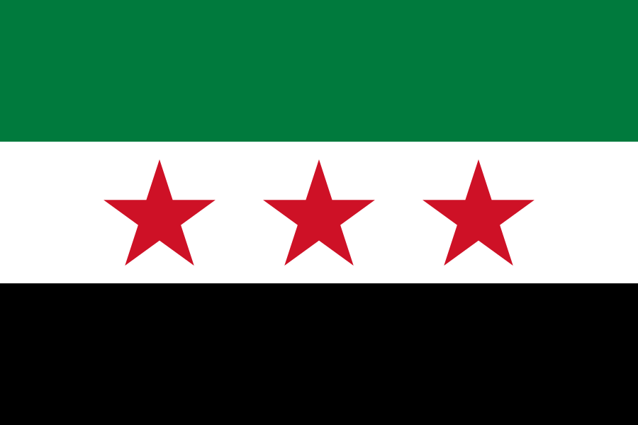

AtlasWise Shop & Printables
Travel Guides & Planners
Curated itineraries, budget sheets, and printable travel planners for real trips.
Visit Store →Classroom & Homeschool Packs
Geography lesson plans, worksheets, country passports and assessment packs.
Browse Teaching Resources →Frequently Asked Questions
What is AtlasWise?
AtlasWise is an independent world geography and travel guide. It combines country profiles, country comparison tools, world rankings, geography games and quizzes, travel guides and printable resources for students, teachers and travellers.
How many countries does AtlasWise cover?
AtlasWise has a guide for every one of the 196 countries in our database, each with the capital, population, languages, currency, climate, best time to visit, notable universities and places to stay.
Is AtlasWise free to use?
Yes. All country guides, comparison tools, rankings, geo games, quizzes and calculators are free. Optional printable travel planners and classroom packs are available in the AtlasWise shop.
Can teachers and homeschool families use AtlasWise?
Yes. The geo games and quizzes work well in class, and our classroom and homeschool packs include lesson plans, worksheets and assessments that follow the same facts as the website.
Where does AtlasWise get its facts?
We check figures against official and widely recognised sources, such as national statistics offices, the United Nations, UNESCO and national park authorities, and we update pages when the figures change.
Start Your Geographic Journey
Explore every country, test yourself with geo games and quizzes, or plan your next trip.